
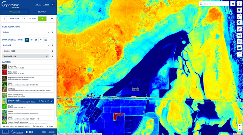
File:Bonneville Salt Flats Copernicus Moisture Index 2026-10-26.png
Size of this preview: 800 × 447 pixels.
Original file (800 × 447 pixels, file size: 540 KB, MIME type: image/png)
Summary
Screenshot of the Copernicus Browser map showing Sentinel-2 L2A Moisture Index imagery dated 2026-10-26.
Source: Copernicus Browser, moisture index.
Imagery: Copernicus Sentinel-2. Map visualization: Copernicus Browser, Copernicus Data Space Ecosystem. Screenshot captured for this article. No additional license is asserted.
File history
Click on a date/time to view the file as it appeared at that time.
| Date/Time | Thumbnail | Dimensions | User | Comment | |
|---|---|---|---|---|---|
| current | 00:57, 7 November 2026 | | 800 × 447 (540 KB) | MCToon (talk | contribs) | Add Copernicus Moisture Index screenshot requested for Bonneville Salt Curve |
You cannot overwrite this file.
File usage
The following page uses this file:
